Maritime Heritage Interactive Map
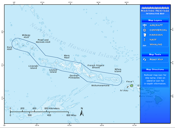
When maritime archaeologists study sites underwater, they must consider the archaeological site in the context of the broader environment, or what we refer to as a seascape. The broad cultural landscape or seascape helps to answer questions about the individual sites that archaeologists are working to interpret. For example, we can better answer questions about the whaling or military heritage of Papahānaumokuākea when we begin to look at where other whaling or military craft were lost, and make connections between sites in different parts of the Monument. Looking at sites thematically, and also understanding that it is part of a particular layer of the Monument’s history is an important way to understand the variety of sites resting on the seafloor in the Northwestern Hawaiian Islands. This interactive map is one way that you can explore the different themes or layers of history in Papahānaumokuākea along with maritime archaeologists. When you click on one of the thematic layers, you can see what part of this history is represented on the Monument’s seafloor. We will continue to build this map but please dive in and explore Papahānaumokuākea’s maritime heritage seascape!
Click here to launch the Maritime Interactive Map
Co Trustees |
World Heritage |
Contact Us Link Disclaimer User Survey Privacy Policy |
Revised December 5, 2022 by PMNM Webmaster Web site owner: National Ocean Service Office of National Marine Sanctuaries National Oceanic and Atmospheric Administration Main Office: NOAA/Daniel K. Inouye Regional Center NOS/ONMS/PMNM, 1845 Wasp Blvd, Building 176 Honolulu, HI 96818 | Phone: 808-725-5800 | Fax: 808-455-3093 |