Mapping Expedition to Papahānaumokuākea Returns
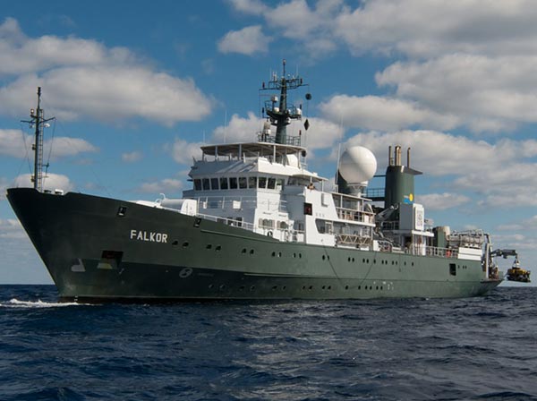
Scientists aboard the Schmidt Ocean Institute’s R/V Falkor set out to map PMNM’s largely uncharted seafloor. Credit: Debbie Nail Meyer/Schmidt Ocean Institute
On April 11, scientists returned from a 36-day expedition to Papahānaumokuākea Marine National Monument to map much of its largely uncharted seafloor. Sailing aboard the R/V Falkor operated by the Schmidt Ocean Institute, the team utilized the Falkor’s state-of-the-art seafloor mapping sonar systems – among the most advanced technology in the world – to obtain high-resolution bathymetric imagery of the Monument’s seafloor.
Why is mapping important?
We can’t manage what we don’t understand. The Monument is the largest protected area in the United States, bigger than all its national parks combined, yet over half its seafloor has never been mapped in detail due to the limited availability of the advanced sonar systems required. The goal of the expedition was to fill those gaps in order to better manage the Monument and aid future research.
Approximately 98 percent of the Monument’s area is deeper than 100 meters, where features including seamounts, ridges and submerged banks are home to rare and likely undiscovered species of corals, fish and other animals. Mapping is key to finding these.
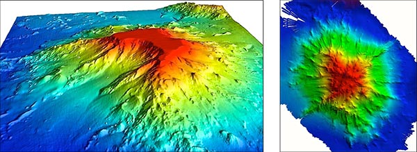
3-D maps of Turnif Seamount (left; Credit: Chris Kelley/HURL) and Wentworth Seamount (right; Credit: Colleen Peters/SOI) based on newly gathered sonar data.
Mapping also helps identify likely sites of deep-sea coral and sponge beds. In 2003, scientists discovered the existence of these beds within the Monument in more than 1,000 meters of water. Previous exploration of the few known sites led to the discovery of more than 50 new species of sponges and corals. More discoveries are expected be made as a result of the information gleaned from this trip.
Maps for most locations inside PMNM were previously based on satellite data with resolutions too coarse to identify most features of interest to scientists and managers. In contrast, the Falkor’s technology can obtain bathymetry data that will produce high-resolution maps and thereby greatly enhance the ability to both study and manage the underwater features of the Monument.
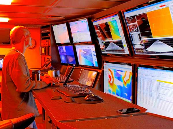
A view of the sonar mapping control room aboard the R/V Falkor. Credit: Daniel Wagner/NOAA
The team consisted of researchers from the University of Hawaiʻi at Mānoa, NOAA’s Pacific Islands Fisheries Science Center, PMNM-NOAA’s Office of National Marine Sanctuaries, Schmidt Ocean Institute, the University of Sydney, and the University of British Columbia.
This was the first of two expeditions slated for the spring of 2014; the second will take place May 2-June 6, 2014.
For more information about the expedition, visit http://www.schmidtocean.org/story/show/2216.
Read the Press Release.
See more pictures.