Stay Connected

Science
Intertidal Monitoring Cruise Pictures
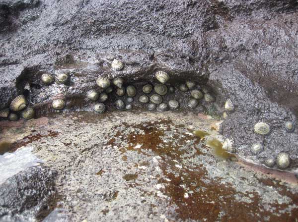
ʻOpihi line the rocky shorelines of Papahānaumokuākea, Northwestern Hawaiian Islands. Credit: Hoku Johnson
Intertidal monitoring team members monitoring the rocky intertidal shoreline in between waves at Mokumanamana. Credit: Dean Tokishi
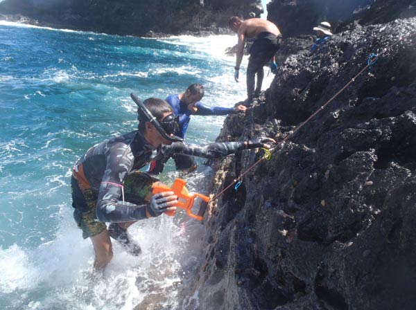
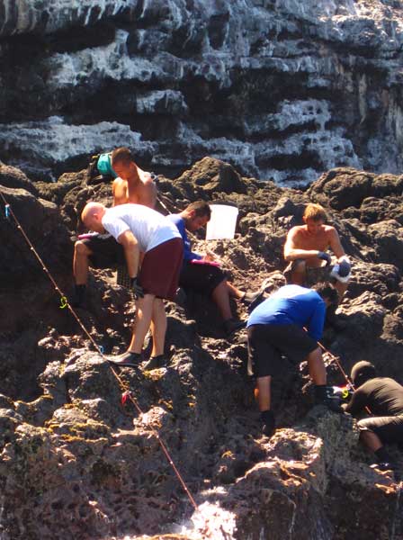
The 2012 Intertidal Monitoring Team busy in the surge zone at La Perouse Pinnacle, French Frigate Shoals. Credit: Hoku Johnson
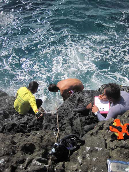
Team members count and measure ʻopihi, limu and other intertidal species. La Perouse Pinnacle, French Frigate Shoals. Credit: Hoku Johnson
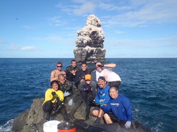
The 2012 Intertidal Monitoring Team. Credit: Dean Tokishi

Team members Patrick Springer and Russell Stoner at work on the rocky shoreline of Nihoa. Credit: Hoku Johnson
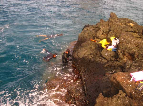
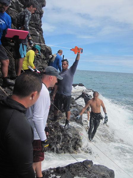
Monitoring the rocky shoreline at La Perouse Pinnacle, French Frigate Shoals. Credit: Hoku Johnson
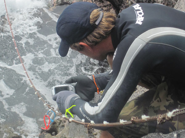
Team member Russell Stoner photographing an ʻopihi transect at Nihoa. Credit: Hoku Johnson
Team members monitor the intertidal zone at Mokumanamana. Credit: Hoku Johnson
To return to the Intertidal Monitoring Cruise feature, click here.